Land & Sea Surveys
provides a personal, professional and efficient consulting surveying service. Established in 2003, our expertise is based on the north-west coast of Tasmania.
Local areas serviced include Devonport, Latrobe, Shearwater, Ulverstone and Sheffield, as well as Burnie, Launceston, the West Coast, and indeed state-wide.
Services range from the placement of a single boundary peg, or the contour survey of a house site, through to industrial location surveys and multi-lot land subdivision.
Title Boundary (Cadastral) Surveys
-Land Subdivision
-Boundary Adjustment
-Boundary Re-Marking
-Strata Units
-Property Checks
-Easements & Leases
-Land Subdivision
-Boundary Adjustment
-Boundary Re-Marking
-Strata Units
-Property Checks
-Easements & Leases
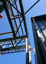
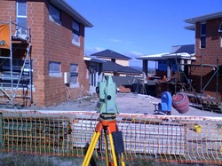
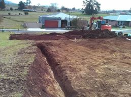
Engineering Surveys
Detail surveys
Minor building and construction set-out
As-built surveys
Industrial monitoring and measurement
Pipeline and road surveys
Detail surveys
Minor building and construction set-out
As-built surveys
Industrial monitoring and measurement
Pipeline and road surveys
Topographic Surveys
Contour & feature surveys
Digital terrain models
Volumes
Surveys for vineyards, irrigation,
agriculture, etc.
Contour & feature surveys
Digital terrain models
Volumes
Surveys for vineyards, irrigation,
agriculture, etc.
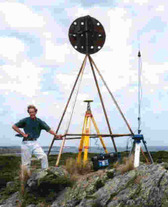
Geodetic Surveys
GPS, GNSS and RTK positioning
Aerial photo control
GIS data collection
GPS, GNSS and RTK positioning
Aerial photo control
GIS data collection
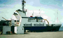
Hydrographic Surveys
Surveys for the purposes of marine navigation and construction, route reconnaissance, river crossings, etc, as well as for diver support, accident investigations and environmental purposes, have been carried out in the past and can be arranged upon request, either in-house or externally.
Surveys for the purposes of marine navigation and construction, route reconnaissance, river crossings, etc, as well as for diver support, accident investigations and environmental purposes, have been carried out in the past and can be arranged upon request, either in-house or externally.